Stormy skies ahead?
WHAT TO EXPECT IN 2024
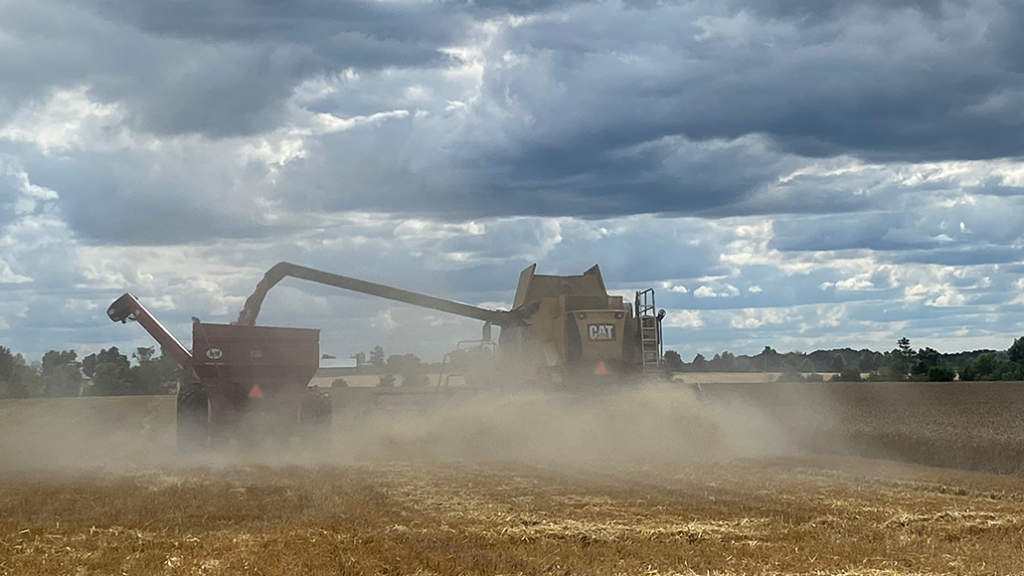
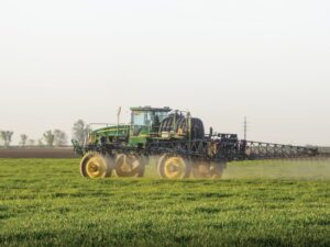
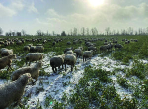
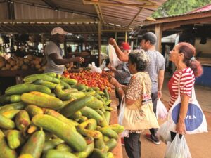
THERE ARE MANY challenges on a grain farm, and one that farmers increasingly have to worry about is erratic weather. David Phillips, a senior climatologist at Environment and Climate Change Canada, notes in one of his yearly weather summaries that “when it rains, it often rains harder and longer. Records continue to topple like never before, often dramatically shattering previous records. So-called unprecedented events are becoming common.”

| WHAT YOU NEED TO KNOW • Erratic weather is one of the major challenges that grain farmers have to deal with. • Climatologist David Phillips says that when it rains, it often rains harder and longer. • The Jet Stream, El Niño and La Niña all play a big role in North American weather patterns. • A three-year-strong La Niña event is now ending, which caused an active storm track and above-normal precipitation. • A strong El Niño event is predicted for the winter of 2023-2024. • Agronomist Peter Johnson recommends that farmers install tile drainage to help mitigate the impact of extreme weather events like heavy rain. |
THERE ARE MANY challenges on a grain farm, and one that farmers increasingly have to worry about is erratic weather. David Phillips, a senior climatologist at Environment and Climate Change Canada, notes in one of his yearly weather summaries that “when it rains, it often rains harder and longer. Records continue to topple like never before, often dramatically shattering previous records. So-called unprecedented events are becoming common.”
In 2021, Phillips noted a snowfall in April, heavy rains and wind-driven flooding around Victoria Day weekend in Ontario, with early summer severe thunderstorms and a tornado in Chatsworth. In his 2022 report, he observes, “… just before the May long weekend, two days of intense heat and humidity propelled a hugely powerful line of storms across central Ontario and Quebec, bringing torrential rains, large hail and frequent lightning.” There was also drought in some parts of southwestern Ontario.
In the summer of 2023, the erratic weather continued. Peter Johnson, with Real Agriculture, points to seven inches of rain in the Watford area at one point as an example.
THE JET STREAM, EL NIÑO, LA NIÑA
To orient us about the big weather picture, Andrew Pritchard, senior meteorologist at Nutrien Ag Solutions, explains that North American weather patterns are driven by the behaviour of the jet stream, which in turn is heavily influenced by atmospheric and oceanic ‘teleconnections.’
“The El Niño Southern Oscillation, or ENSO, is one of the biggest teleconnections we keep an eye on,” he says. “We look to the Equatorial Pacific for changes in trade winds and ocean temperatures, signalling weather we’re experiencing an El Niño (warmer water, weaker trade winds), La Niña (colder water, stronger trade winds) or ENSO neutral.”
A three-year-strong La Niña event is now ending. It meant, across Ontario, eastern Canada and the eastern U.S., an energized jet stream with an active storm track and periods of above-normal precipitation. However, Pritchard explains that during summer 2023, “we began to flip the script and are now headed for a strong El Niño event in winter 2023-2024.” This will likely mean a stronger, more consolidated jet stream with significant storm systems progressing from the Pacific Ocean across the U.S., but this pattern often plays out well south of Canada.
“All we can say today is that the deck is not stacked heavily in favour of an active, stormy winter (and early spring) season regionally this year, as it has been in recent years,” says Pritchard. “There will be unforeseen wild cards, as there are every year. We’ll watch for any potential disruptions to the polar vortex, which can at times send frigid, arctic air south into the region.” In addition, blocking patterns (‘log-jams’ in the storm track) could deflect the southern U.S. storm track northward.
It is harder to forecast into the spring and summer of 2024, but Pritchard says that during the summer, the jet stream weakens and moves north across North America. “As it does so, weather patterns become more difficult to predict, and weather impacts become more localized and nuanced because strong jet stream flow is no longer around to keep the pattern organized and moving along,” he explains. “There will likely be periods of heat across Ontario and eastern Canada in summer 2024, but the anomalous ridges of high pressure that lead to prolonged periods of dangerous heat are not forecastable beyond a few weeks in advance.”
PREPARING YOUR FIELD
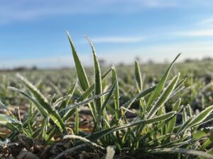
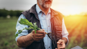
Farmers may feel helpless and overwhelmed in the face of continued erratic weather. However, Johnson provides several suggested courses of action that will make a huge difference, especially in preparing for drought.
“You should appropriately drain your entire farm if you haven’t already,” he says. “I’m the ‘Environmental Advocate’ with the Land Improvement Contractors of Ontario, and I work with them because I think drainage is so important to farming in Ontario, not just to manage erratic weather but because it significantly helps improve the soil. Growers tend to think drainage is only really helpful in a wet year, but it’s even more helpful in dry seasons.”
What Johnson means is that, in general, crop plants in drained soil will grow their roots deeper, and they are, therefore, better prepared for drought. “In Ontario, we have full recharge of the soil moisture over winter,” he explains, “so if your roots are deep, they will be able to access that moisture. It’s there. There’s a perception that tiles remove groundwater, but they don’t. I very much encourage appropriate draining. Some sandy soil areas might not need tile outside the low-lying areas, for example, but all farms need tile installed, and a licensed contractor will advise.”
The second course of action Johnson recommends to prepare for dry spells is to minimize compaction. “As we well know, it prevents water infiltration and curbs root growth,” he notes. “Our knowledge around minimizing compaction has really grown, so there’s little excuse not to put this knowledge into practice. Follow your field patterns, use a tire inflation system, use tracks, use other tire technologies, and so on. You can also plant alfalfa to break up compaction.”
Thirdly, Johnson advises another look at your rotations. “It’s quite clear that good rotations help with soil resiliency and protect yield, and this becomes especially evident under drought conditions,” he says. “There will be a presentation by Dr. Amélie Gaudin, UC Davis, on making the most of your rotational options at the 2024 Ontario Ag Conference in January that everyone should see.” Lastly, Johnson recommends minimizing tillage and growing cover crops to help preserve and build soil aggregate stability.
CLIMATE CHANGE
On a final note, some opportunities may present themselves with climate change, but caution is indicated. For example, farmers in Ontario are now able to grow longer-season crops, partly due to new genetics but also due to more heat units. However, Johnson says research from Agriculture and Agri-food Canada shows that we’ve only gained one additional frost-free day every four years for the last 50 years, “so decisions about varieties need to consider that. Some growers swear by shorter-day hybrids no matter what, but four out of five years, they could have benefited from longer-day hybrids. My advice is to not push the envelope too much, no more than 20 per cent of your fields — and if you’re risk-averse, don’t do any of it. In dealing with potential extreme weather and everything else, a big part of farming is knowing your fields and knowing yourself.” •