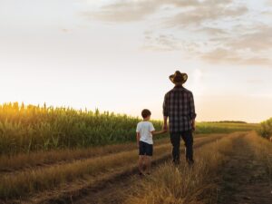
Wacky weather
LA NINA, LA NINO, AND THE JET STREAM
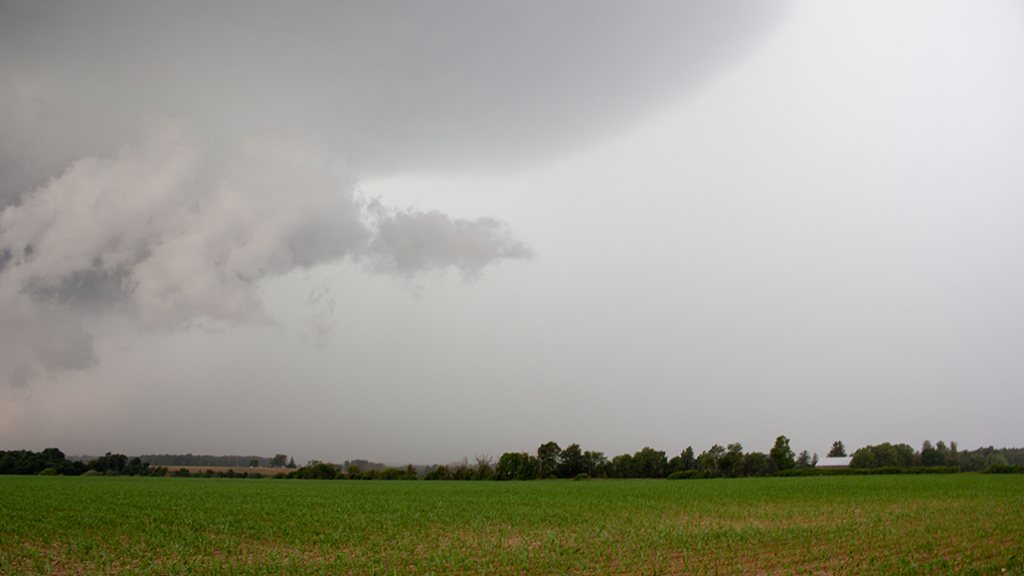
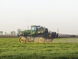
DISTRUPTIVE WEATHER PATTERNS like too much rain causing flooding, too little rain causing drought, windstorms, snow storms, hail, tornadoes and more can be explained by the jet stream, according to Andrew Pritchard.

“When we talk about weather risks, whether it’s short-term, long-term, chronic or acute, it all comes back to the jet stream — a river of air that’s flowing 35,000 feet above our heads,” said the senior meteorologist for Nutrien Ag Solutions. Pritchard, who is based in Champagne, Illinois, was a keynote speaker on Crop Day at the Grey-Bruce Farmers Week in January 2023.
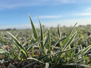
He said that the North American growing season is determined by the position of the jet stream’s summer block. The omega-shaped block has a high-pressure ridge sitting basically in the middle of the continent with low-pressure areas on either coast. This is the kind of block that set up in the summer of 2022, causing, among other things, spring flooding in the Midwest.
From June to mid-July, there was a ‘Ring of Fire,’ or an area above the high-pressure ridge that was across the U.S. Midwest, the top of which was parallel to the Canada-U.S. border. It provided much-needed rain in western Canada, unlike the summer of 2021, when the ridge was farther south, making the area extremely hot and dry.
By the fall, the ridge had moved to the west, and an area of low pressure developed over the Great Lakes, causing cooler, drier air in the east and unusually high temperatures in the west. In fact, it was so dry in the Midwest that there were shipping problems in the U.S. with record low levels along the Mississippi River.
FORECAST FOR 2023
Going into 2023, Pritchard said that many organizations and hundreds of individuals across the globe are trying to figure out what the weather will be coming into the spring and summer.
“Nobody knows exactly where it’s going, and if somebody tells you they do know three to four months out, they’re lying to you,” he said.
Conditions in early January included torrential rains along the west coast of California, which had been experiencing severe droughts in previous years. In the east, with the exception of a blizzard around Christmas, it had been mild with “light doses of snowfall” caused by a disorganized flow of jet stream winds.
Pritchard emphasized the influence of the Pacific Ocean and the effects of La Nina, which causes cooler surface temperatures along the equator and warmer temperatures in the north. El Nino is the opposite, with warmer sea surface temperatures along the equator and cooler temperatures elsewhere.
“What’s really driving things are the trade winds,” he said, adding that strong trade winds bring the cooler water up to the surface at the equator, causing La Nina, and weaker trade winds cause the water to heat up, causing El Nino.
Going forward, La Nina is expected to weaken, and El Nino may be in play coming into winter 2023.
When La Nina is in full force, as in 2021, big storms track across the eastern part of the continent. With El Nino, the jet stream consolidates and dips lower into the United States, causing it to be quieter in Canada, with fewer winter storms.
The Madden-Julian Oscillation (MJO) is a phenomenon in which the vertical motions of surface winds that intersect cause thunderstorm activity along the equator. The energy from that activity is transported into the jet stream, which changes its behaviour and affects the weather in North America.
Historical data on MJO and whether La Nina or El Nino is in play from similar situations can be used for forecasting purposes.
“Typically, when La Nina is retreating, there’s an overcorrection with El Nino,” he said.
In the coming months, he said that the risk of prolonged excessive heat and droughts should “begin to peel back” as La Nina retreats.
CLIMATE CHANGE
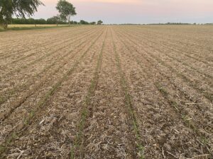
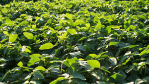
In answering a question from the conference floor, Pritchard explained that in North America, the effect of climate change on weather has included more frequent, heavy rainfalls and muggier, damper summer days — especially in the central-east. More corn and soybeans are being grown across the Midwest because of the longer growing seasons, with earlier last frosts and later first frosts.
“It’s inappropriate to take one weather event and say, ‘climate change caused that,’” he said. “What climate change does is put the ingredients for these significant weather events into place, so they happen more frequently.”
He cited the fact that Illinois, where he is from, experienced tornadoes on January 3, which is very unusual. He also said that the jet stream becomes more variable as climate change heats up the oceans.
“It’s not a linear increase with more intense and more crazy weather,” he said, noting that some years are very active with many storms, and others are quieter. •